By Frank Strait
Severe Weather Liaison
S.C. State Climate Office
Key Points:
-Confidence is increasing for most or all of South Carolina to see a snowstorm this weekend.
-Mainly snow will fall, but many areas may see light rain at the onset, and parts of the Coastal Plain may see up to a few hours of sleet and freezing rain. However, the risk for power outages will be low because significant ice buildup is unlikely, and the snow will be dry and fluffy.
-Snow amounts are in question, and it’s still too early to provide specifics. However, it’s likely that the Catawba Region, the Pee Dee, and the Grand Strand will see the heaviest snowfall and have the best chance of three inches or more.
-The potential exists for slippery travel starting Friday night with snow falling through Saturday night. Roads may remain slippery for a few days where substantial snow falls because it will remain cold behind the storm, resulting in slow daytime melting and nighttime refreezing. The extent and duration of potential travel problems are uncertain.
-Winds will increase during the storm with peak gusts of 35-40 mph along the Coastal Plain and around 30 mph elsewhere on Sunday. The wind will cause blowing and drifting snow where we see a substantial accumulation. The winds will also drive wind chills down to the teens over most of the state on Saturday through Sunday and to the single digits Sunday night.
-Another winter storm now looks likely for most or all of the state Saturday into Sunday. There is good computer model agreement that the storm will bring mainly snow, but they disagree on the amounts. Some show a major event with parts of the state seeing over six inches, while others show a peak of only a few inches.
In the meantime:
We’ll remain dry ahead of the storm, but a moisture-starved cold front will move through tonight into Thursday. Highs on Thursday will range from the low 40s north to near 50 south.
Clouds will increase on Friday ahead of the approaching storm. Highs on Friday will range from the low 40s in the Upstate to the upper 50s in the far south.
Uncertainties remain because of the complexity of the weather pattern over North America. The primary weather feature is moving southward from Hudson Bay today. It will cross the Great Lakes on Friday and reach the Tennessee Valley on Saturday. It will then move through the Carolinas and depart to the northeast on Saturday night into Sunday. Pacific disturbances now south of Alaska and west of Baja California may join with the storm and add moisture. However, the computer models could be off on the timing of those Pacific disturbances, and they may end up not becoming involved. More available moisture would lead to more snowfall.
However, the range of scenarios points to at least a little snow falling over some or all of South Carolina as early as Friday night. Some scenarios would lead to less moisture available, and some would result in the storm not really getting its act together until it’s moving away from us. Others show the storm intensifying by the time it gets here, bringing a major snowstorm that affects most of the state. The truth is somewhere in between, but the model trend over the last day has been toward more snow.
You can expect different impacts from this storm than from this past weekend’s, since it’s likely to bring snow rather than thick ice. Also, the snow will be dry and fluffy because it will be so cold, and it won’t adhere well to trees or power lines, so the risk for power outages will be low. Slick roads will be a problem, and it’s going to remain cold behind this storm, so the roads could remain slick for a while. How hard it will become to get around and how long the roads remain bad will depend on how much snow falls. It’s too early to give specific accumulation numbers (that’s coming tomorrow), but the area east of I-77 and north of U.S. 378 has the best chance of heavy snow. If you’re in that area, start planning to avoid travel Saturday through at least Monday. The rest of the state is likely to see lower impacts, but travel will be hazardous at least on Saturday and Sunday.
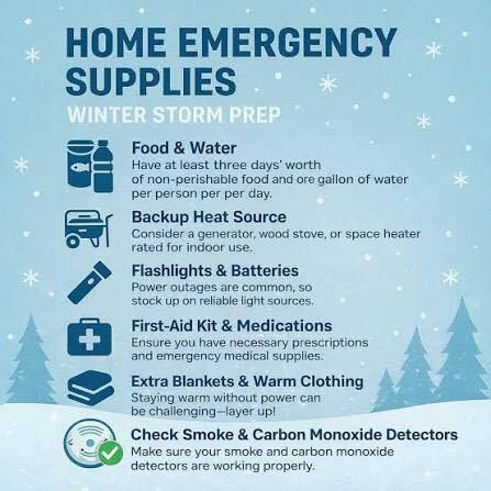
What else do you do now? Check out SCEMD’s SC Winter Weather Guide and ready.gov for tips, and go from there.