By Frank Strait
Severe Weather Liaison
S.C. State Climate Office
The tropical Atlantic remains a sleeping giant. While there are a few tropical waves to track, it is unlikely we see any developments over the deep tropics any time soon. However, the weather pattern over our part of the world is about to shift to one that makes the southwestern Atlantic and Gulf a place to watch.
The three tropical waves we have to track are all in an unfavorable environment for further development. Upper-level winds are hostile (strong westerly winds aloft are causing vertical shear), and a dry, stable air mass is present over the region of the Atlantic and Caribbean Sea between 10° and 20° north latitude, what we call the Atlantic’s Main Development Region. Tropical waves in such an environment usually fail to launch.
However, the western part of the subtropical Atlantic basin (the area from the Tropic of Cancer to 35° north) becomes a region to monitor next week. A shift in the weather pattern from one with an upper-level ridge over the eastern U. S. to one featuring an upper-level trough over that area will allow cold fronts to limp into the Southeast in the coming days before turning stationary. Stationary fronts over the Gulf and southwestern Atlantic during hurricane season are often a breeding ground for sneaky tropical cyclone developments. So, we’ll have to keep an eye on those areas for a while starting next week. The good news is that storms that form this way near home tend to remain weak, should we get a development and it comes our way.
Right now, only a few of the many computer models we have at our disposal suggest a potential development, so it seems like a long shot that we’ll see a storm form.
While the tropics are likely to remain quiet for a while, that’s no guarantee, and we’re still in the early part of a long hurricane season. Please ensure you’re ready for storms we might face later this year. If you need prep advice, hurricane.sc is your best resource.
SC Weather Highlights for the next week or so:
Our heat wave is mercifully about to come to an end. The changing weather pattern will lead to a trend toward below-average temperatures in the coming days. We will continue to simmer through Saturday, but Sunday looks less hot and then definitely cooler (relatively speaking) Monday into Tuesday. We’ll probably see most of the state hold in the low- to mid-80s for highs early next week!
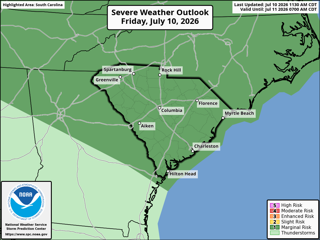
With the arrival of a cold front that will become stationary over us, we’ll see increased coverage of showers and thunderstorms, along with a higher potential for stronger storms. The more active period begins today and continues through at least Monday. The Storm Prediction Center has the entire state under a low-end risk of severe storms today, and the outlooks for Saturday and Sunday look nearly the same.
The primary concern will be for locally damaging wind, with only a minimal, “never say never” level of risk for large hail and tornadoes.
With the increased coverage of storms comes a good chance of rain over the next few days, and we need it. Most of the state remains in a drought, with the worst of it along our Coastal Plain. So, hopefully, we’ll see most places get a good soaking or two through early next week.
We’re likely to see the stationary front fizzle out Tuesday into Wednesday. So, storm coverage will decrease during that time, and temperatures will increase. Late next week looks hot again before we see another cold front move in next weekend.
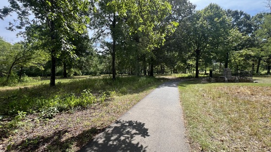
Today’s edition comes to you from Gaffney, home of my grandchildren and near Cowpens Battlefield; the reasons why I’m up here today. I got to enjoy the South Carolina 7 event at Cowpens this morning. We took a short walk around the battlefield and received a guided tour from the staff. Other SC7 events are planned for the rest of this month around the state, and I hope you’ll get a chance to attend one yourself.
Battle of Cowpens on January 17, 1781.