
The Atlantic tropics have been quiet since Chantal dissipated, and we are likely to see the Atlantic remain tranquil for a while. We have no tropical cyclones ongoing in the Atlantic Basin, and we are unlikely to see any for at least the next five days. The view from space shows that we lack interesting features across the typical storm breeding grounds in July.

There are four tropical waves present over the Atlantic Basin:
Near 80° west, south of Cuba
Near 68° west, south of Puerto Rico
Near 39° west over the middle of the tropical Atlantic
Near 22° west, over and south of Cabo Verde
The two waves over the Caribbean Sea are not producing much in the way of thunderstorm activity, and strong westerly winds aloft are causing too much vertical shear for development. The wave over the middle of the tropical Atlantic is in a dry air mass that is keeping it from generating thunderstorms. The wave near Cabo Verde is the healthiest-looking of the bunch, and it's causing a good bit of thunderstorm activity. There is also a broad turning motion with the wave. However, it's rare for storms to form this far to the east, and all our computer models show no development from this wave as it marches westward through the tropical Atlantic and into the Caribbean Sea over the next ten days.t
However, just because we won't see any storms form in the deep tropics in the coming days doesn't mean we're off the hook entirely. For at least the next two weeks, we will remain in a weather pattern allowing cold fronts to press further south than we typically see in July. One of these passed through the Eastern Seaboard over the last couple of days (hence the widespread thunderstorms across the Palmetto State), and this feature is now dissipating offshore. This front will wash out without any fanfare over the next few days, but we're likely to see another front limp into the Southeast later next week. If it reaches the northern Gulf and the area off the Southeast Coast before becoming stationary, then we'd run the risk of seeing a tropical cyclone form over those areas. A Chantal-like storm would be possible in that situation. So, that's something we'll have to keep an eye on later next week.
Quiet times like we have now are the best time to prepare. We're only about five weeks from the usual busy time of the Atlantic hurricane season that starts in mid-August and runs through mid-October. We're seeing signs that the Atlantic might perk up once we get into August. For example, the Madden-Julian Oscillation, which I haven't talked about much this season so far because it's been pretty much nonexistent for a few months, will show signs of life again starting next week, and it may go into a favorable phase for Atlantic developments during the first part of August. So, make sure you're ready for the busy time we're likely to see starting in a month or so. You can find all the hurricane prep information you need at hurricane.sc.
Hot Spell This Weekend And Monday
So far this summer, we've seen cycles where it gets hot for a few days with fewer of the usual afternoon and evening thunderstorms, then the heat eases and we see widespread thunderstorms. An upper-level trough over the East Coast and weak surface front brought us the more widespread thunderstorm activity over the last couple of days. That feature is moving away to the northeast and will be replaced by a weak upper-level ridge. While troughs lead to less heat and more thunderstorms, having a ridge overhead usually makes it hotter with the afternoon storms less widespread.
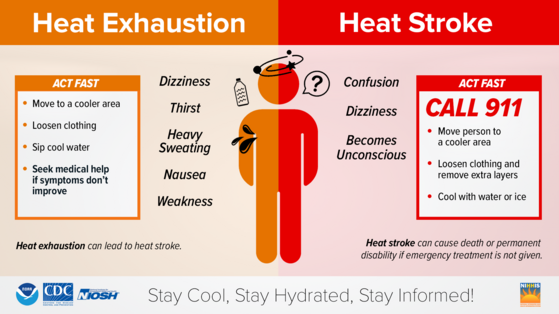
Temperatures will trend upward over the weekend as the upper ridge takes hold of the southeastern states. Most of the state will see highs in the lower to middle 90s Saturday, then some upper 90s will show up in the Midlands and Central Savannah River Area Sunday and Monday. With the Upstate having been relatively dry for the last week or so, a few spots there might also get to or above 95° as well. Rich humidity will remain in place, so the day's peak heat index will be pushing over 100 for most of the state starting Saturday, and some 105+ heat index values will be possible Sunday and Monday over the hottest parts of the state.
While fewer people will see the diurnal thunderstorms through the weekend and Monday, those who do see storms could see them become intense with locally damaging wind. Heat and humidity are thunderstorm fuels and we'll have plenty of both in the coming days. Be ready to move indoors as storms move your way.
Starting with Tuesday, the upper ridge will break down and another upper trough will settle into the eastern states. That returns us to a setup with more widespread daily thunderstorms and less heat. Highs return to the 88-92° range by Wednesday and remain there for the rest of next week thanks to the more widespread storms that start earlier in the day.