By Frank Strait
Severe Weather Liaison
S.C. State Climate Office
S.C. Department of Natural Resources
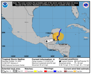
Tropical Storm Nadine formed last night from disturbed weather over the northwestern Caribbean Sea. It’s making landfall in Belize as I send this out, and it’s not a problem for South Carolina.
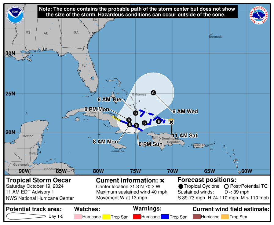
Somewhat surprising is the formation of Tropical Storm Oscar this morning from the area of disturbed weather previously called Invest Area AL94. It quickly formed a tight surface circulation last night, with thunderstorms clustering around it long enough to qualify as a tropical cyclone.
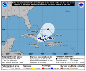
The forecast reasoning for this system hasn’t changed since yesterday, though. That it has become a tropical storm and might get a little stronger makes it more likely to turn northeastward and move over the Atlantic toward Bermuda next week, steered by an upper-level trough that will soon form off the Southeast Coast. However, that’s not a guarantee. If it weakens enough as it sits close to Cuba on Monday (maybe it moves further inland or into the more mountainous terrain over Cuba’s far south), then an alternate path would still be possible. That might allow Oscar to miss the connection with the upper-level trough. If that happens, it might wander into the northwestern Caribbean Sea or dissipate over Cuba. However, if that happens, a continued westward track into Central America would be likely. None of the current possibilities would result in any direct risk to South Carolina.
On the most likely track for Oscar, it could contribute to rough seas and surf along our coast later next week. Surfer dudes might be pleased; most others won’t be venturing too deep into the cool waters along our coast. Surf temperatures have fallen into the 60s.
We’ll watch Oscar and revisit the forecast on Monday or Tuesday if necessary. Enjoy the nice weather this weekend!
WEATHER ALERT: Nadine and Oscar Form, But Don’t Panic
