From Duke Energy
On Monday morning, strong high pressure will be centered over the northern Rockies and extend southeast all the way into Florida. Monday will be a sunny but much colder day; highs 20-25 degrees colder than on Sunday. Skies will start out mostly clear but then high cloudiness will increase after midnight, especially across the southern half of the area. Many locations will remain below freezing throughout Tuesday.
The focus then shifts to a storm system that will develop in the Gulf of Mexico on Tuesday, cross Florida and the move up the Atlantic coastline Tuesday night into Wednesday. There is still some uncertainty in the exact track and impacts due to model run-to-run variability. The overnight model guidance has trended back toward the southeast, suppressing higher liquid totals closer to the coast and reducing precipitation amounts inland. There is still high confidence that all precipitation will fall as snow. At this time, snowfall totals look to be 1-4” across our area, with highest amounts toward the coast.
Many locations will remain below freezing throughout Wednesday. Wednesday night into Thursday morning will be clear and cold. Temperatures will drop into the lower and middle teens in many locations and places with fresh snow cover on the ground could trend even colder. Temperatures are forecast to warm above the freezing mark on Thursday afternoon.
Friday morning will not be as cold as Tuesday-Thursday but still well below normal with readings in the lower 20s. Locations with lingering snow cover could dip into the teens.
There is potential for a late week storm. We could see a second round of wintry precipitation across our area toward the end of the week, but confidence is very low this far out.
Temperatures should moderate somewhat during the weekend but still remain below normal.
As with any winter weather, a degree or two change in temperature can make all the difference in the type of precipitation. The National Weather Service is your official provider of weather information.
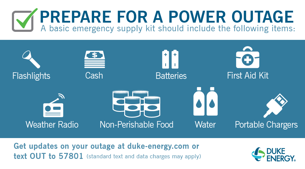
While we do all we can to prevent outages, now is the time to check your emergency supply kit and replenish any supplies that you may have used or have expired. If you do experience an outage, you can find updates at duke-energy.com/outages, the Duke Energy app available for download on smartphones, by calling 1-800-POWER-ON, or by texting OUT to 57801.
DUKE ENERGY: Get Your Supplies In Order In Case Power Goes Out